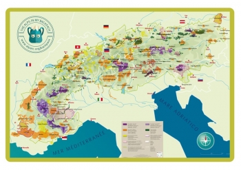
Alps in my backpack was created by members of the Working Group “Mountain Environmental Education in Alpine Protected Areas”. It is a multifunctional pedagogical tool that can be used for a wide range of activities such as games and picnics. It can even be used during your event at Youth at the Top 2019! Measuring 240 x 150 cm and printed on a resistant fabric, it presents the map of the Alps and their main protected areas. It's a great way to get kids to learn more about the Alpine region and identity!
Please scroll down to find the document available in English, French, Italian, German, and Slovak.
English:
French:
Italian:
German:
Slovak


